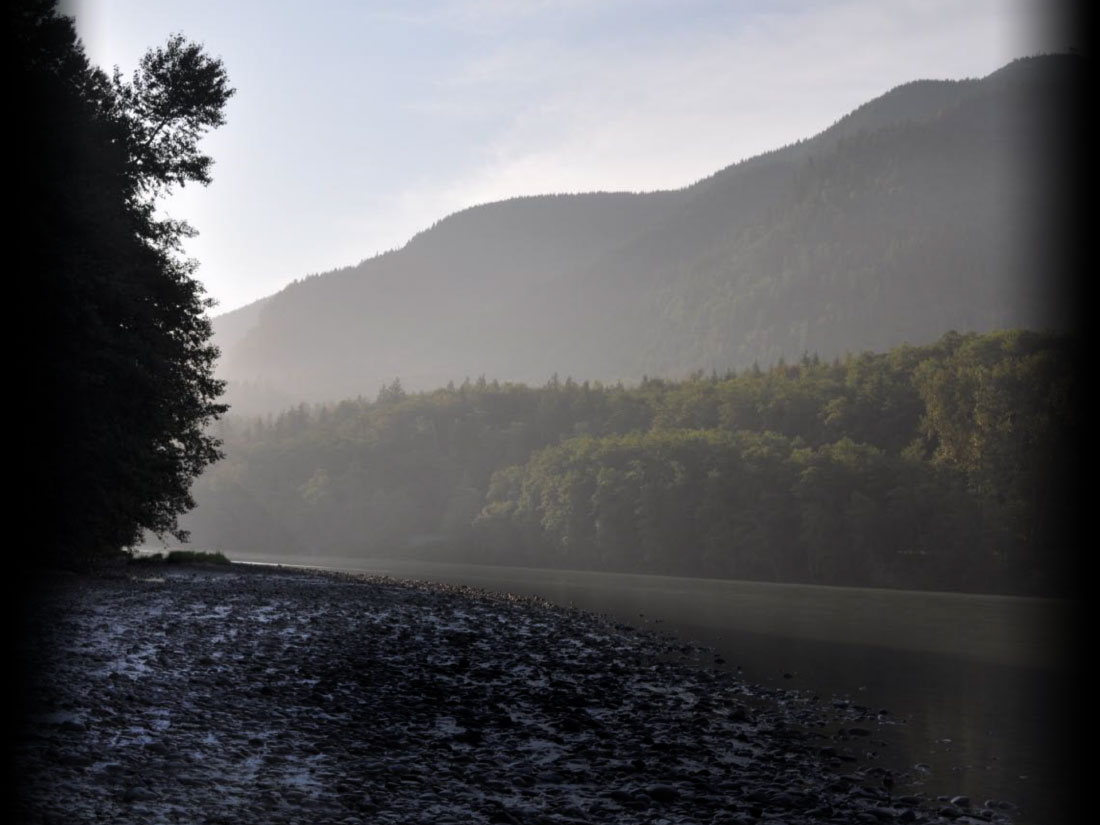
Riparian areas, or the vegetation along a waterbody, are fundamental building blocks for creating and maintaining functional salmon habitat and water quality. Functions provided include temperature and water quality control, bank stabilization, organic inputs of bugs and leaf litter, and recruitment of trees into our streams to form pools and hiding places. Without native vegetation along the banks of the Skagit, sustainable populations of salmon and trout would disappear!
In 2017, the Council completed an assessment of freshwater riparian conditions to determine if we have been gaining or losing habitat recently compared to desired future conditions and to help identify where restoration or protection projects would be most effective. The assessment characterized both the large river floodplains of the Skagit, Sauk, Suiattle, and Cascade Rivers and also the 14 key Chinook tributaries identified in the 2015 SWC Strategic Approach.
Data outputs include 2013 land cover classification, vegetation height in 2006 and 2015, areas planted with trees by SWC member organizations since 2000, loss of forest cover between 2006 and 2013, and public lands conserved in perpetuity. Additional information was compiled that highlights areas of poor water quality, armored streambanks, and shadowed or isolated floodplains, Data was analyzed at different distances from waterbodies, for both conserved and private lands, and by reach, WRIA and watershed scales.
You can explore the results of this assessment in a variety of ways:
The Skagit Watershed Council maintains a local database for riparian practitioners to track voluntary riparian actions in the Skagit basin. It is intended to be a foundational tool for adaptively managing riparian restoration in the Skagit, communicating with the community and other agencies about restoration progress, understanding planting and maintenance outcomes, and establishing the long history of data required to evaluate the decades-long process of riparian change and its impact on salmon recovery. We keep track of habitat gains in acres for both new forests and augmented existing forests (underplanting). We also track replanted acres for original plantings with high mortality, maintenance activities at existing plantings, and riparian implementation attributes like planting and maintenance methods. This is not a complete accounting of riparian restoration in the Skagit due to some programs’ privacy concerns.
The primary contributors to the database are Skagit Fisheries Enhancement Group, Skagit River System Cooperative, Skagit Land Trust, and Skagit County. The records span from 1995 to present. The completeness and accuracy of data from the early years of data collection (prior to 2008) are unknown. Also, a consistent method for defining and measuring planting vs. replanting vs underplanting was not established until 2019, nor was maintenance recorded comprehensively prior to 2019. That considered, this database represents the best we have of a long-term, compiled multi-agency history of riparian restoration in the Skagit. The project continues to evolve as we are better able to reconstruct past planting histories and improve data gathering methods and structures going forward.
In March 2023 we published a report that summarizes riparian activities through 2021 with respect to restoration goals from the Skagit Watershed Council’s Strategic Approach.